Electronic Supplement to
Surficial Slip and Rupture Geometry on the Beichuan Fault near Hongkou during the Mw 7.9 Wenchuan Earthquake, China
by Jing Liu-Zeng, Li Wen, Jie Sun, Zhihui Zhang, Guyue Hu, Xiucheng Xing, Lingsen Zeng and Qiang Xu
Selected photos of the surface rupture in the Miaoba section
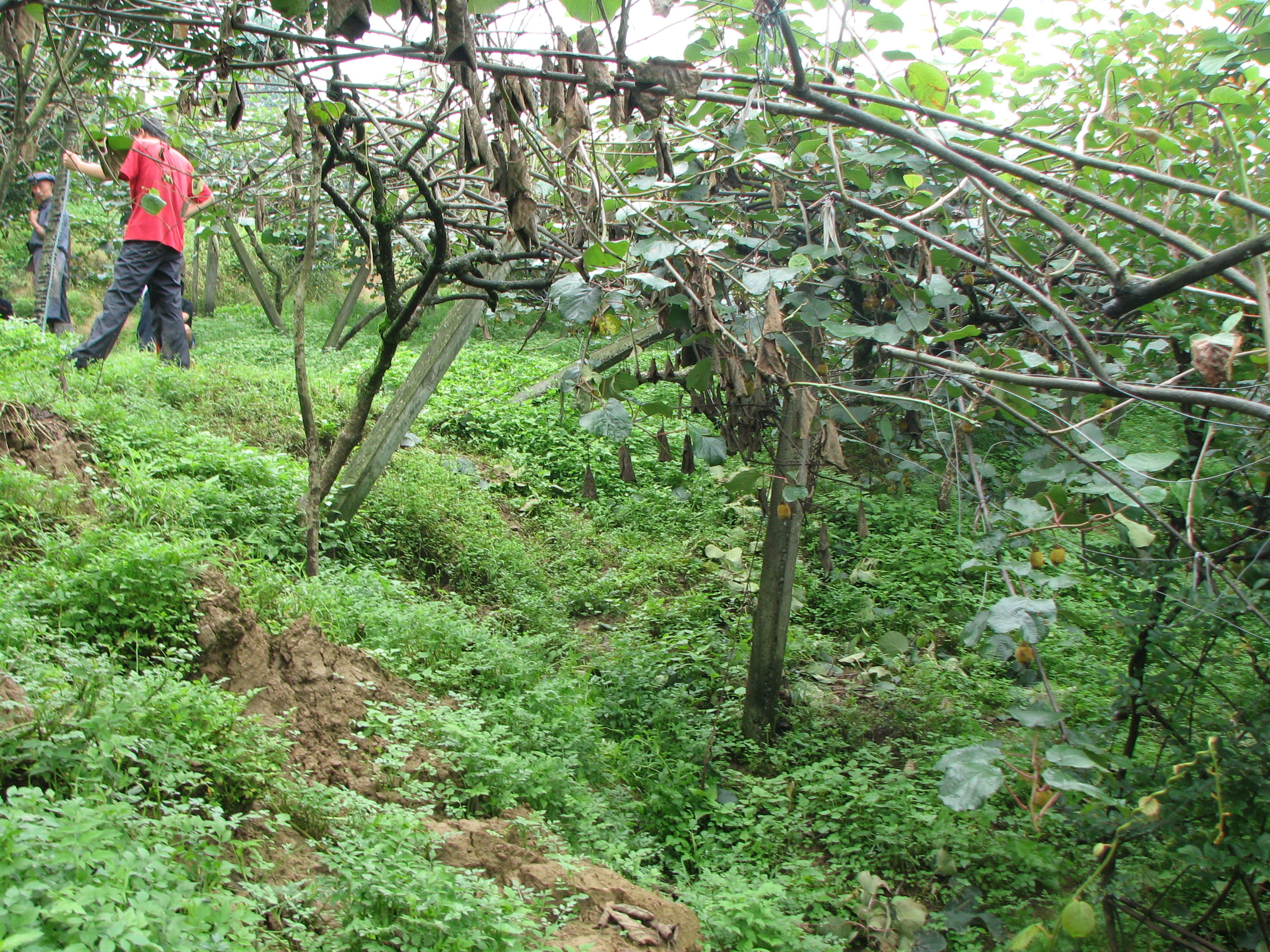
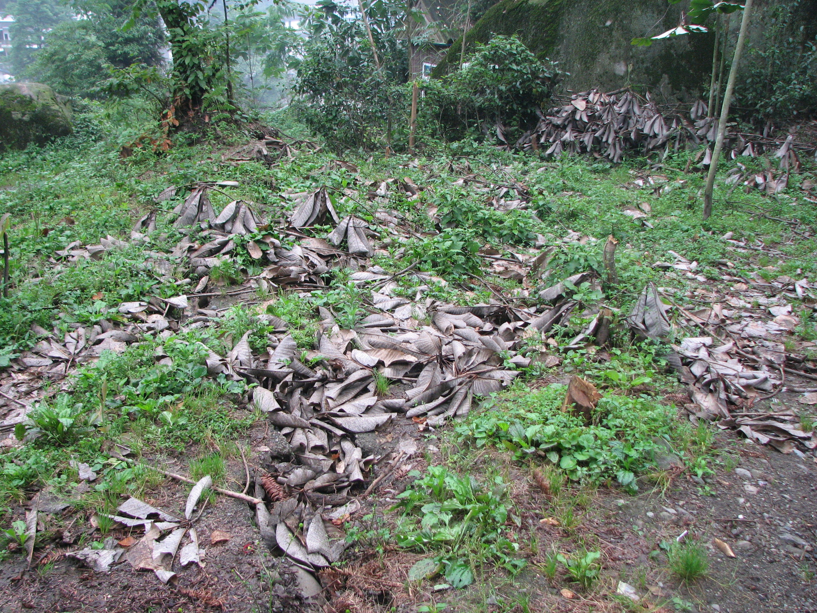
Point 262
The fault scarp coincided with a pre-existing scarp, and through a kiwi plantation. Colluviums appeared at the base of the scarp. Looking southwest. Photo taken by J. Liu-Zeng, June 19, 2008.
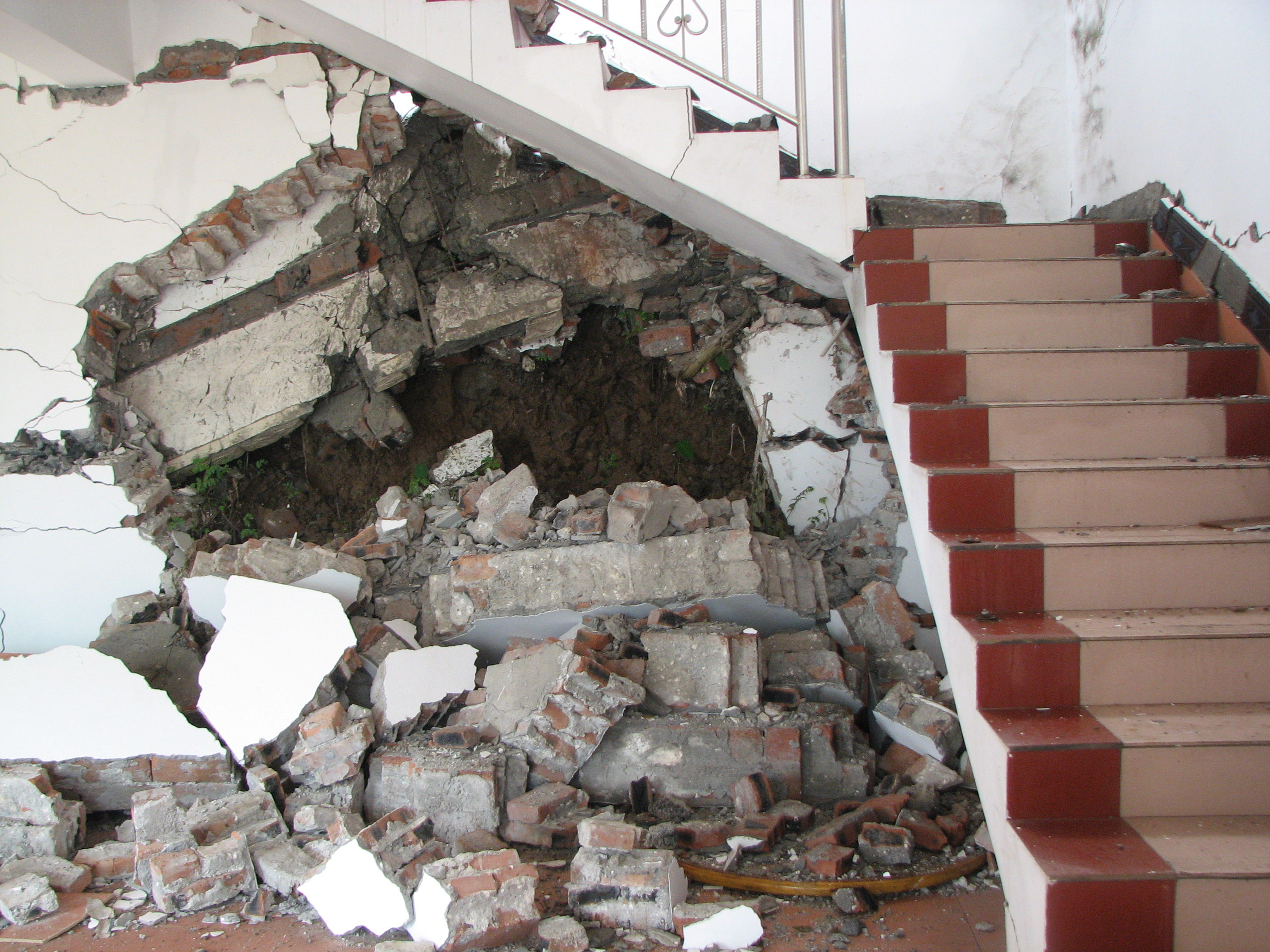
Point 261
Scarp through the garden behind Mr. Yuan's 2-storey house. There was a pre-existing ~3m high topographic scarp, and 2-3 m space (gap) between the house and the scarp, with the Wenchuan earthquake, the gap disappeared, with the dirt being squeezed into the house. Looking north. Photo taken by J. Liu-Zeng, June 19, 2008.
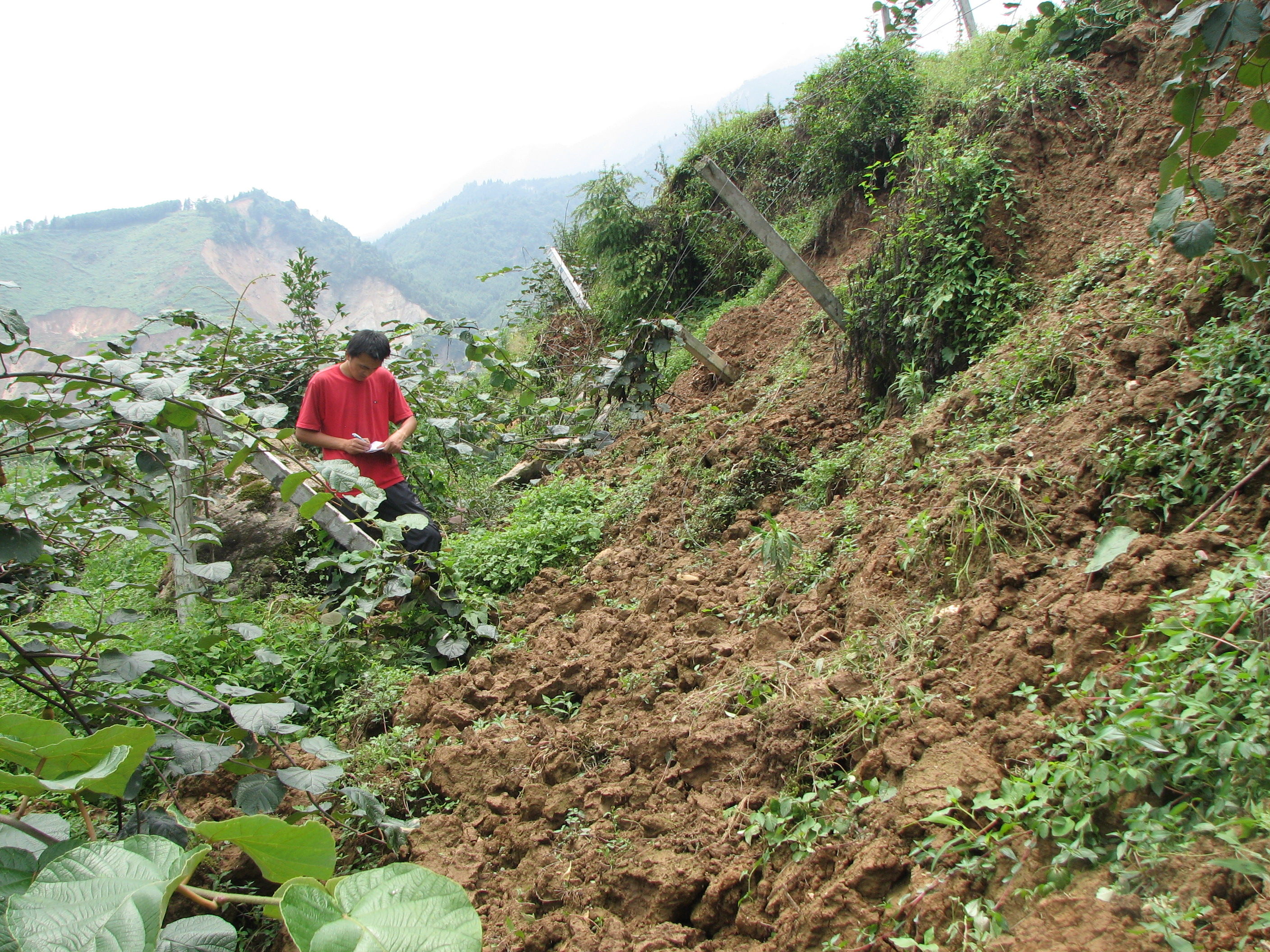
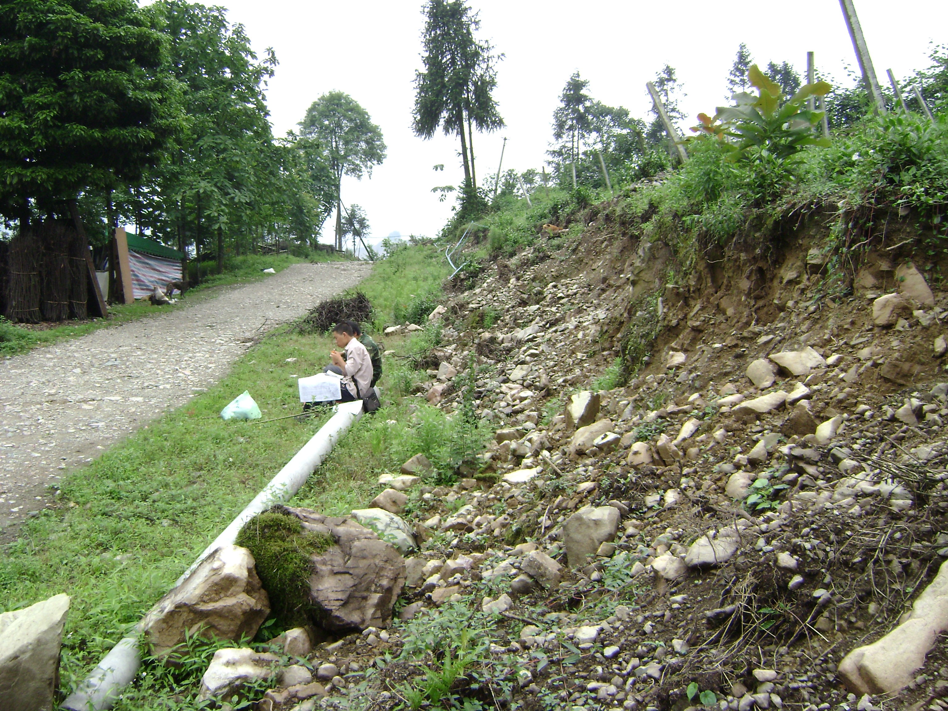
Point 260
Scarp through the kiwi plantation. The fault strikes N65E, and offset a human footpath in the garden. Between points 259 and 260, the scarp height varies noticeably along the fault. Looking northeast. Photo taken by J. Liu-Zeng, June 19, 2008.
Point 264
The fault, striking N35-45E, cut through a simple paved road diagonally, forming a 1.05 m-high scarp. Looking north. Photo taken by J. Liu-Zeng, on June 19, 2008.

Point 267
The surface rupture cut diagonally across a dirt drive road, as a multi-stranded zone of tensional cracks, with 0.35 m NW-side up separation across the entire zone. The fault changed its strike slightly from N105E to N68E northeastward from point 267. Looking southwest. Photo taken by J. Liu-Zeng, June 19, 2008.
Northeast of Point 266
Immediately to the northeast of point 266 is a 2 - 4 m high pre-existing scarp extending for 100 meters. Extensive collapse along the scarp, with accompanying N75E-trending en echelon and sub-parallel fissures on the ground below the scarp, suggests that this is probably a cumulative fault scarp, though with only a couple of ten centimeters vertical offset during the Wenchuan earthquake. Looking southwest. Photo taken by L. Wen, June 19, 2008.
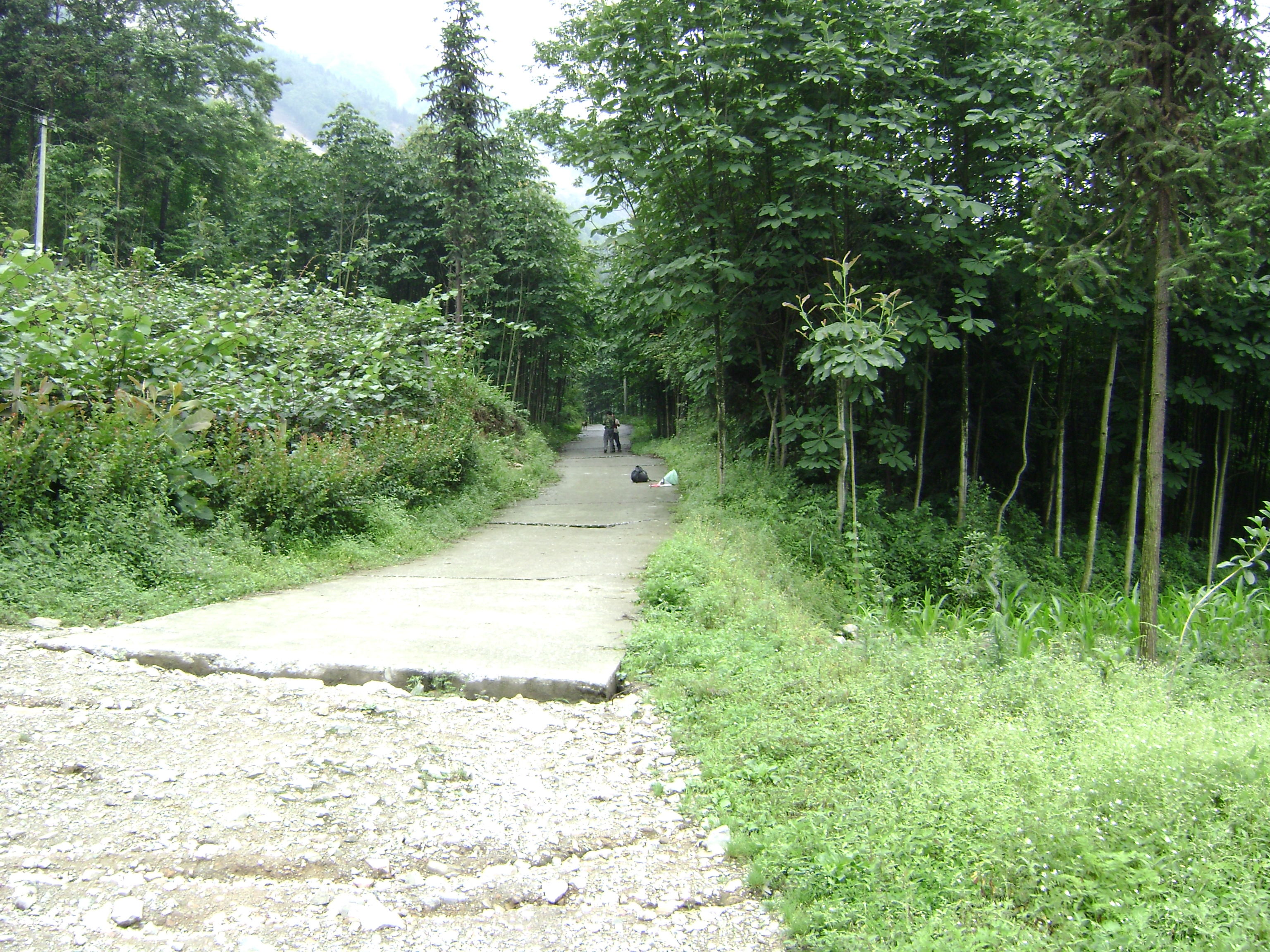
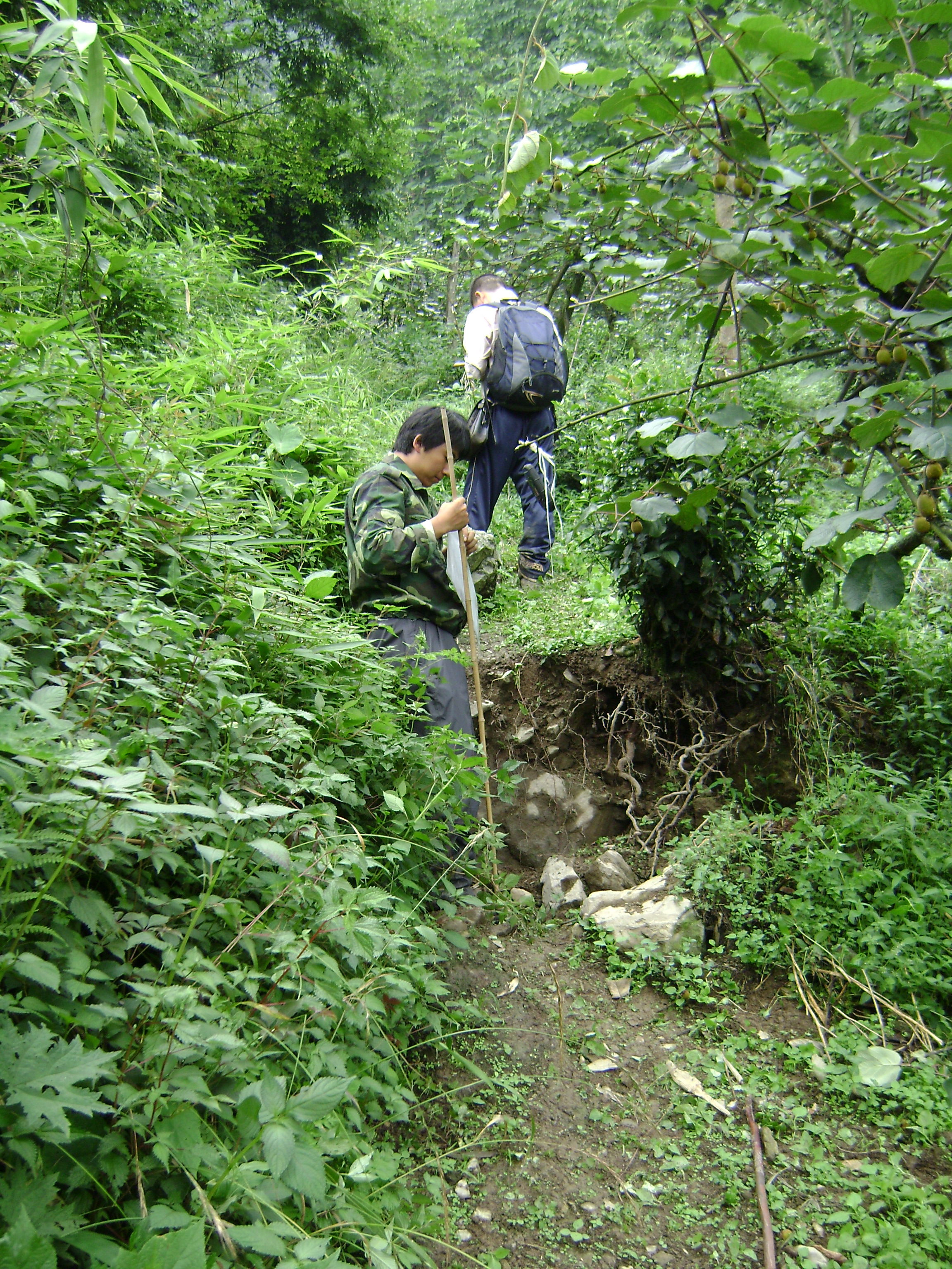
Northeast of Point 268
A zone of tension cracks can be traced continuously in uncultivated flat land. Looking northeast. Photo taken by J. Liu-Zeng, June 19, 2008.
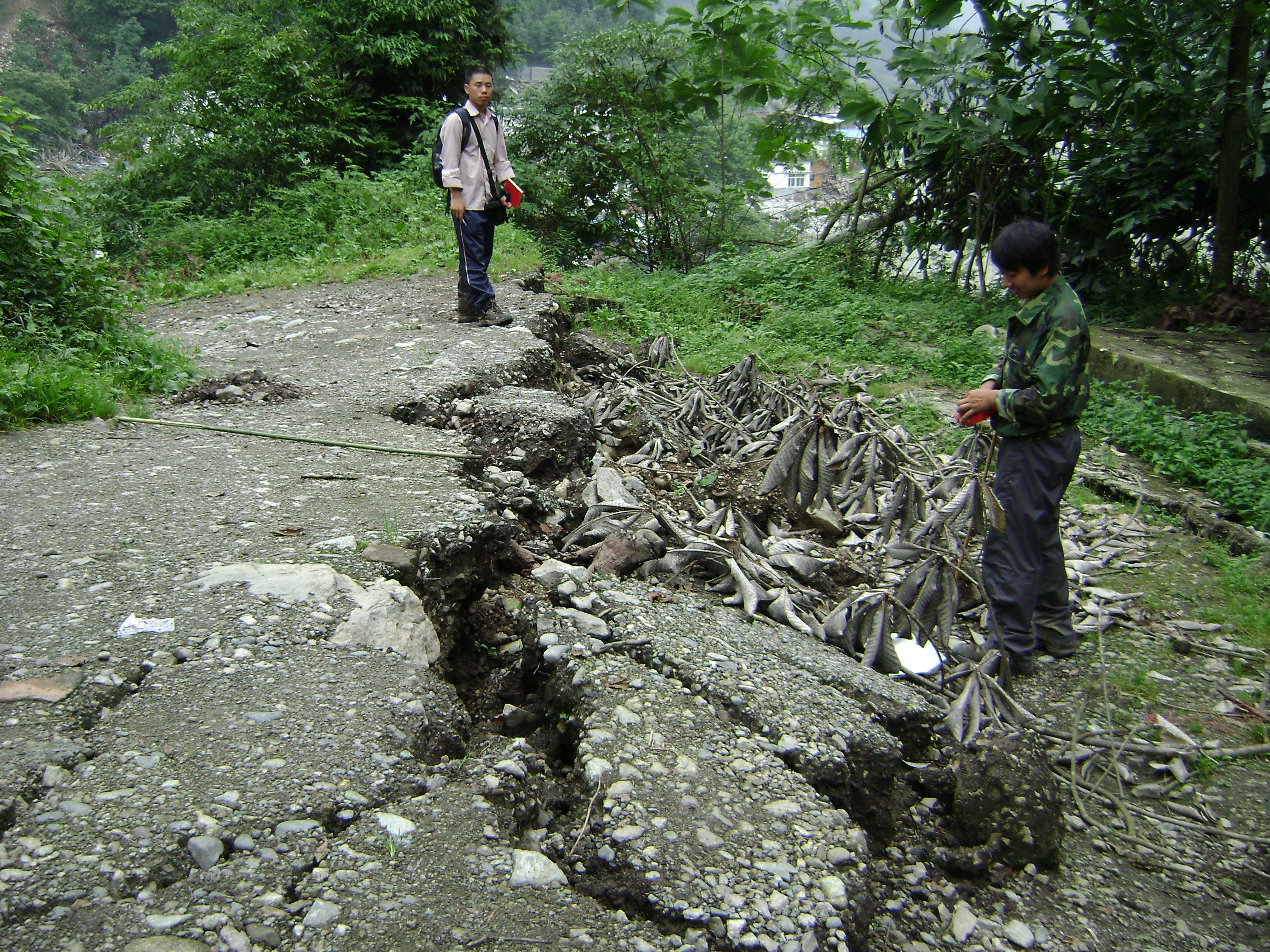
Point 619005
A concrete drive road being offset diagonally allows measurement of distributed warping across the 50 m wide zone to be ~ 0.8 m high. Looking northwest. Photo taken by L. Wen, June 19, 2008.
Northeast of Point 619008
A N34E-trending trail is offset by N70E-striking fault scarp, with NW side being uplifted 0.6 m. Looking north. Photo taken by L. Wen, June 19, 2008.
Point 619009
Fault scarp cut through a previously flat riverside groove with 1.15 m vertical separation. Looking northeast. Photo taken by L. Wen, June 19, 2008.
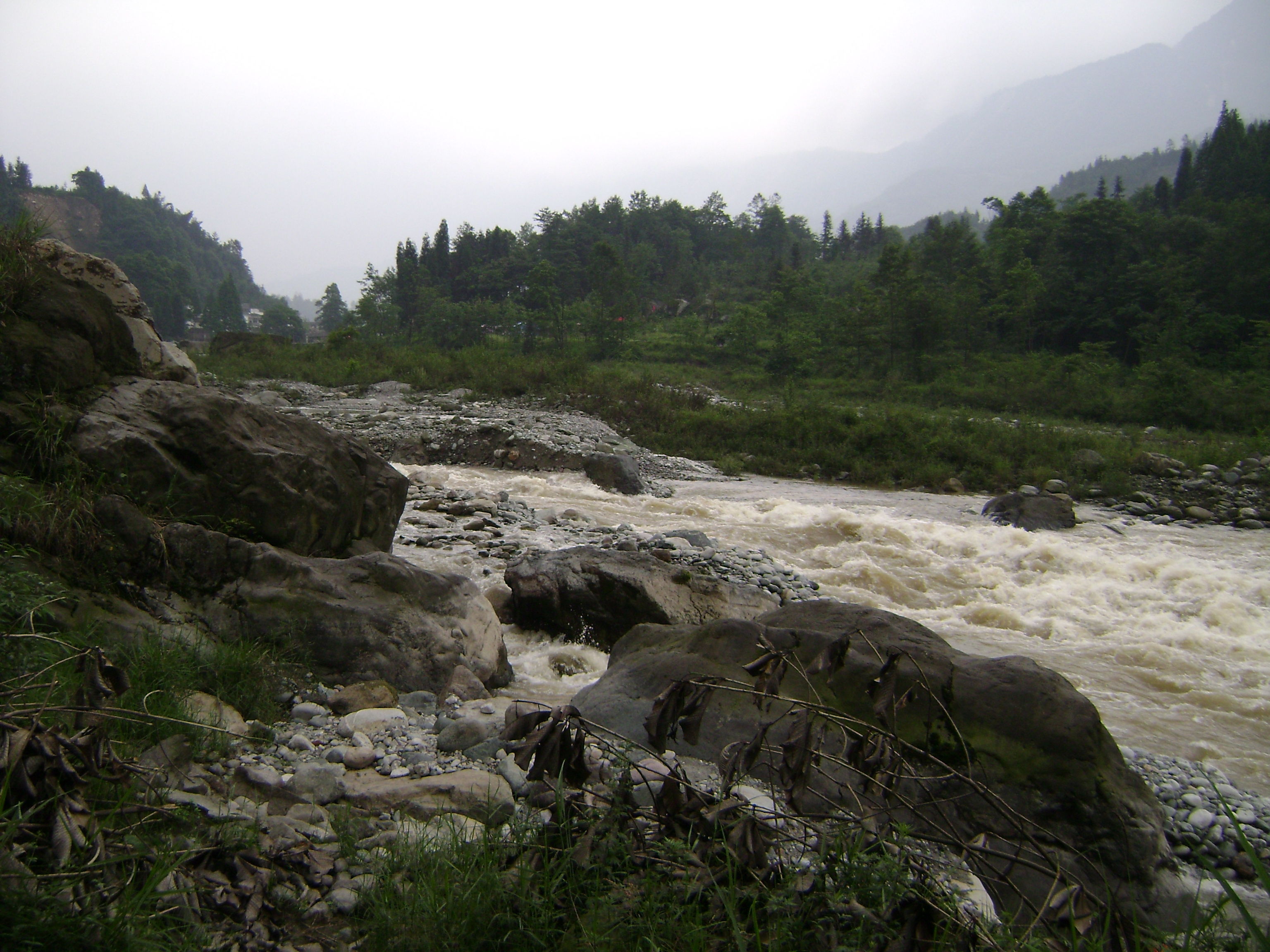
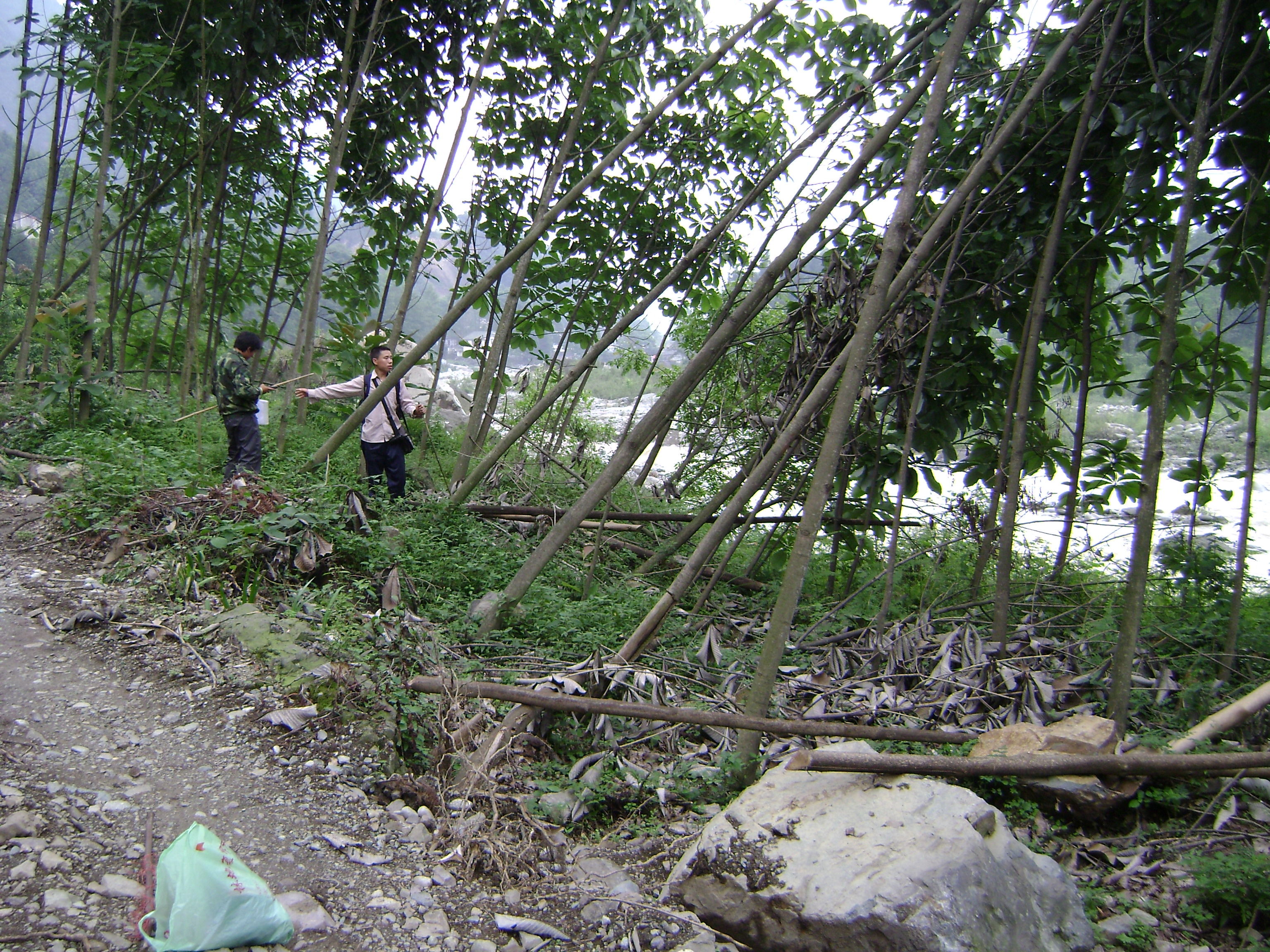
Northeast of Point 619009
The fault scarp cut the riverbank gravel and formed a waterfall in the Baisha river channel. Looking northeast. Photo taken by L. Wen, June 19, 2008.
Northeast of Point 619010
Surface rupture appeared on the flat terrace surface where the Hongkou town is situated, with ~0.9 m high locally N45E-striking scarp with accompanying tension cracks. Looking northeast. Photo taken by L. Wen, June 19, 2008.