Electronic Supplement to
Surficial Slip and Rupture Geometry on the Beichuan Fault near Hongkou during the Mw 7.9 Wenchuan Earthquake, China
by Jing Liu-Zeng, Li Wen, Jie Sun, Zhihui Zhang, Guyue Hu, Xiucheng Xing, Lingsen Zeng and Qiang Xu
Selected photos of the surface rupture in the Gaoyuan section
Rupture near Xiajia Ping
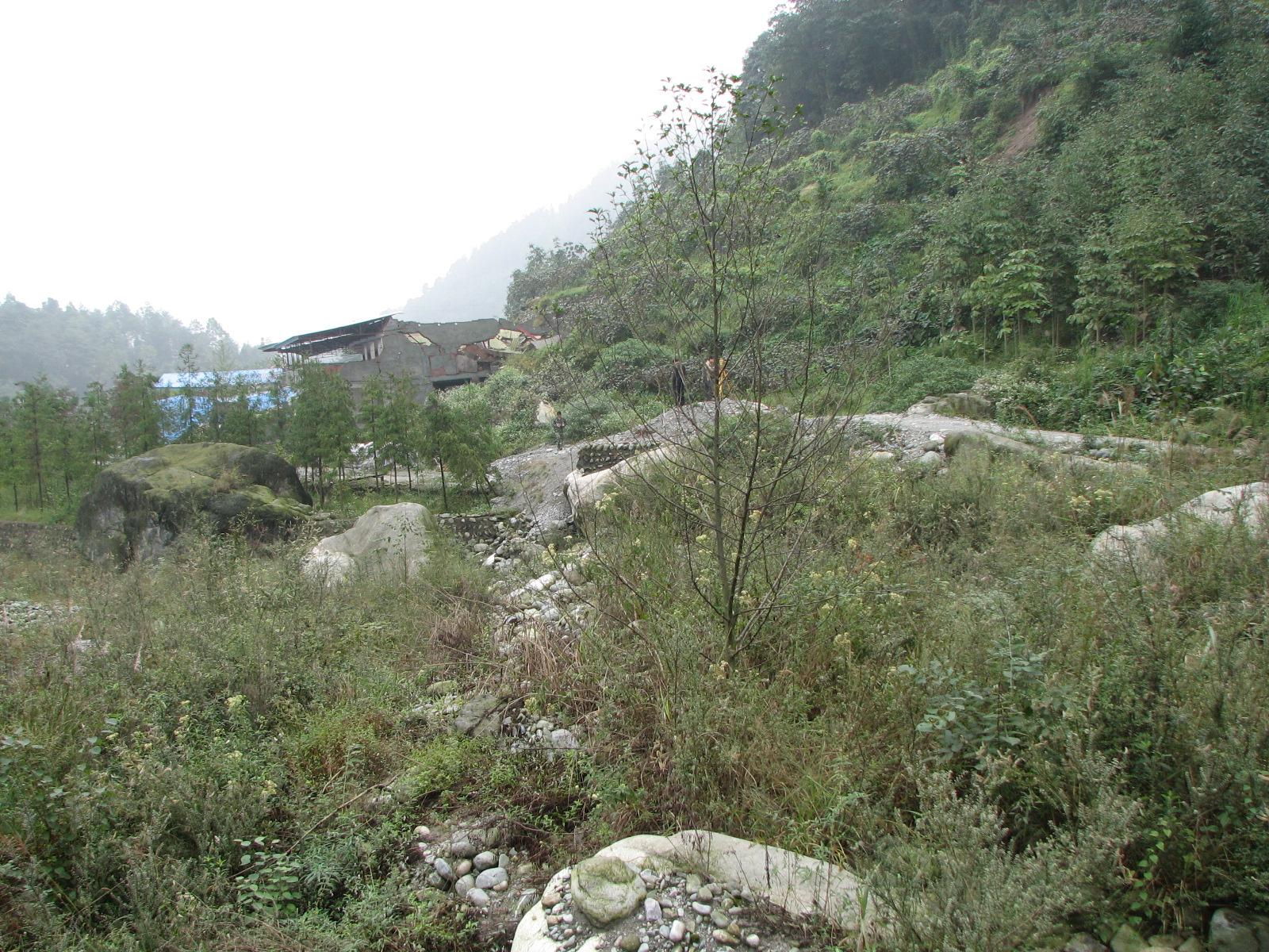
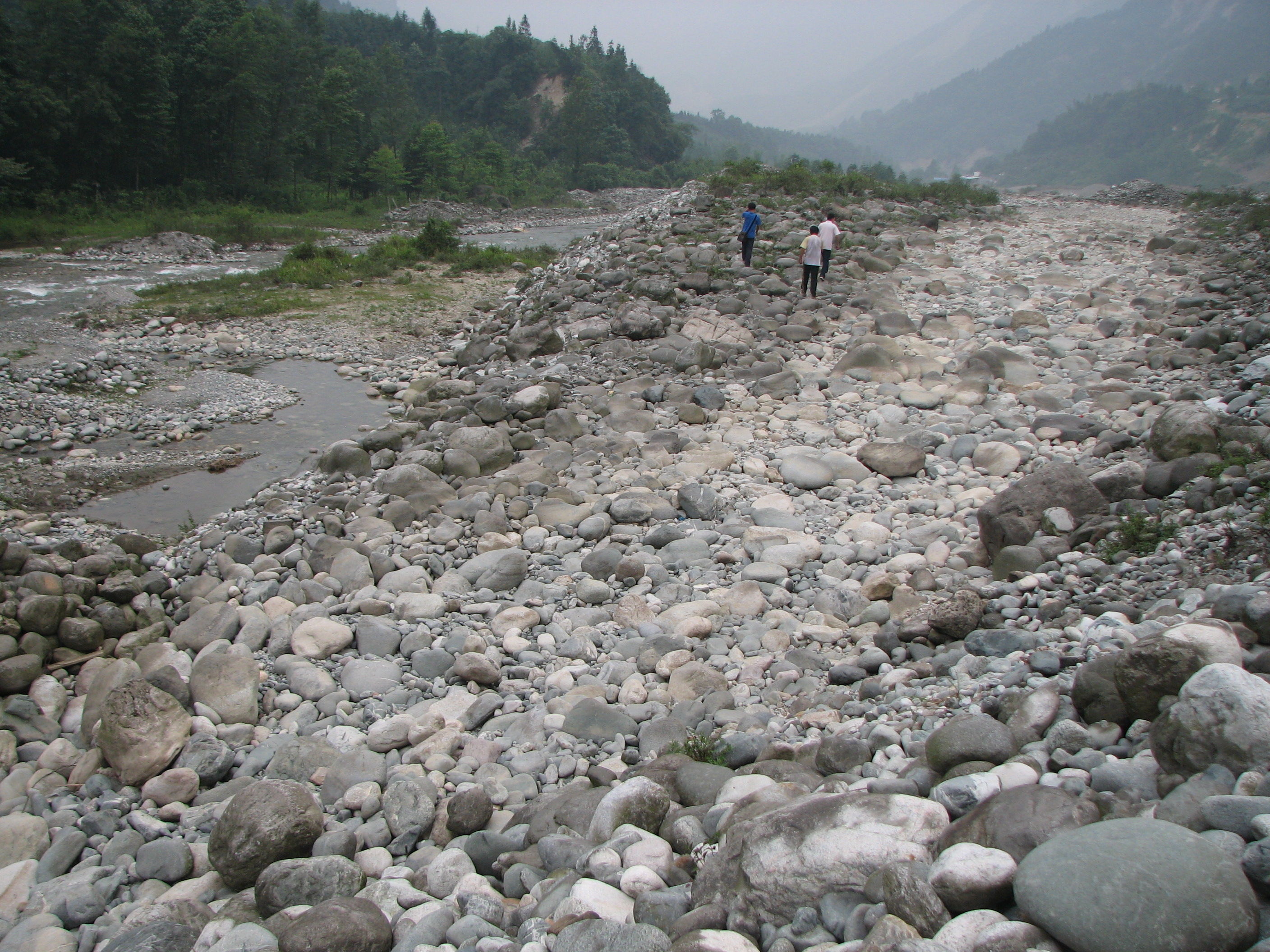
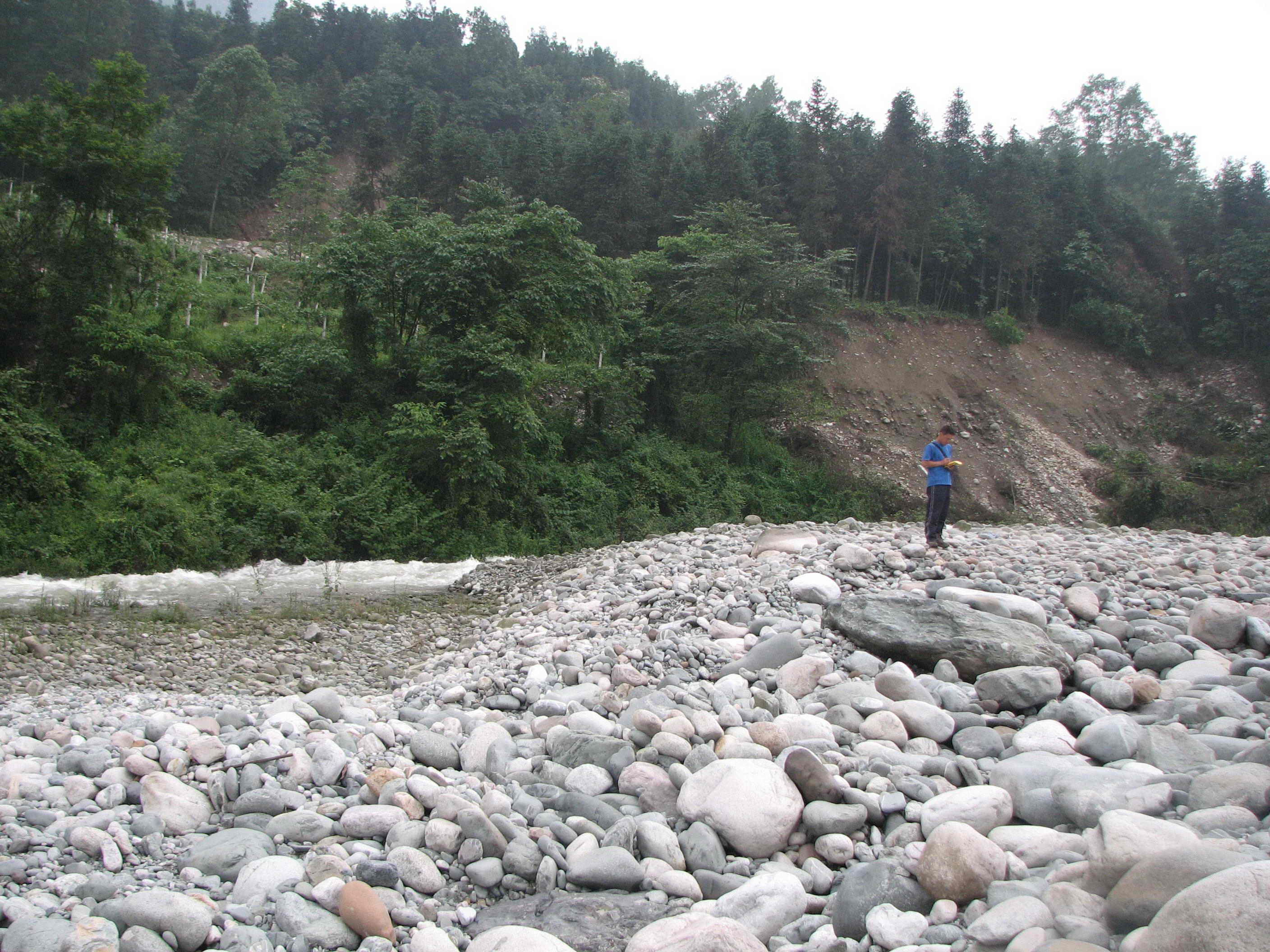
Northeast of Point 963
At point 963, the fault scarp offset a dirt drive road and nearby river bank stone wall. It then continued northeastward through the bouldery flood plain of the Baisha river. Looking southwest. Photo taken by J. Liu-Zeng, on September 29, 2008.
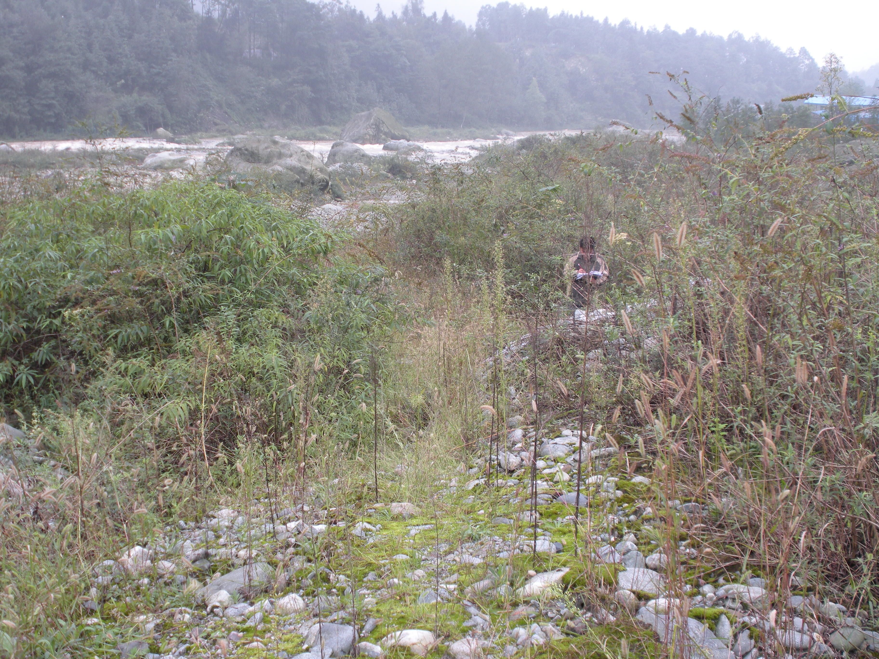
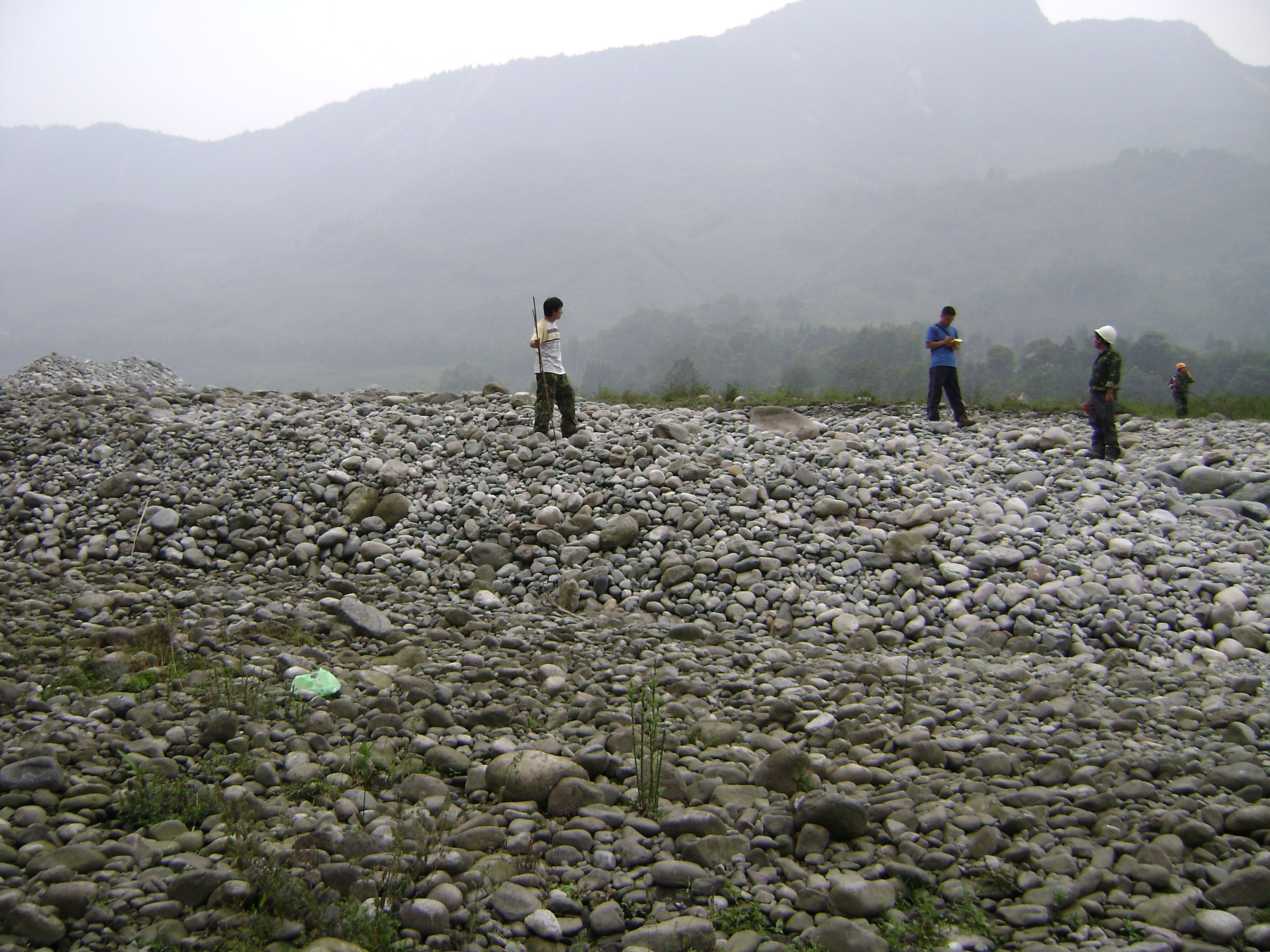
Point 966
Tire tracks were offset by the fault, at a small angle. Northeastward, the fault scarp became less distinctive. Looking south. Photo taken by Z. Zhang, on September 29, 2008.
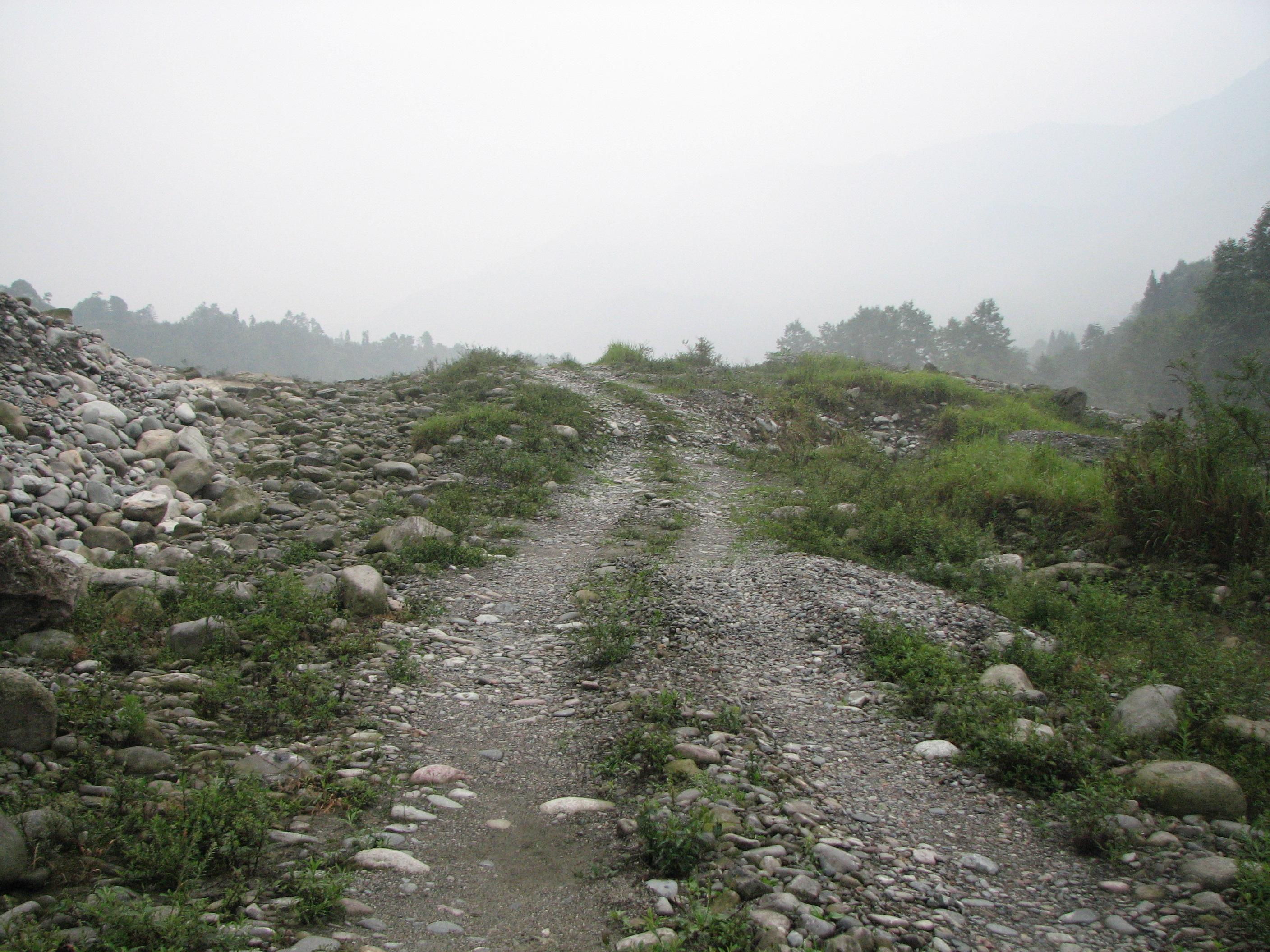
Northeast of Point 271
Immediately northeast of point 217. A tire track road indicates a northwest side - up scarp. Looking north. Photo taken by J. Liu-Zeng, on June 19, 2008.
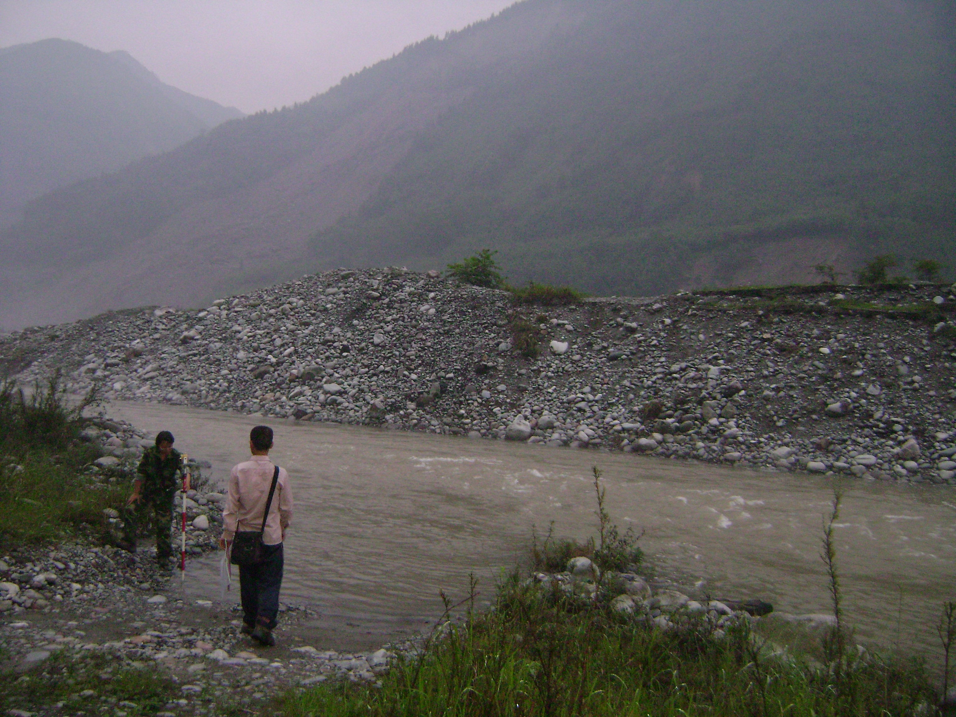
Point 617023
A tire track road on the river flood plain was right-laterally offset ~2.3 m with >5 m northwest side-up vertical separation. Looking west. Photo taken by L. Wen, on June 19, 2008.
Northeast of point 617023
Fault scarp cut through the boundary stream bed, uplifted and caused the abandonment of a previously-active river channel, whose position is indicated by lighter-color portion. Looking southwest. Photo taken by J. Liu-Zeng, on June 19, 2008.
Northeast of Point 201
The same southeast-facing scarp continued northeastward from point 617023, but the scarp height decreased to 3-4 m. Looking north. Photo taken by L. Wen, on June 17, 2008.
The southern strand near the Gaoyuan village
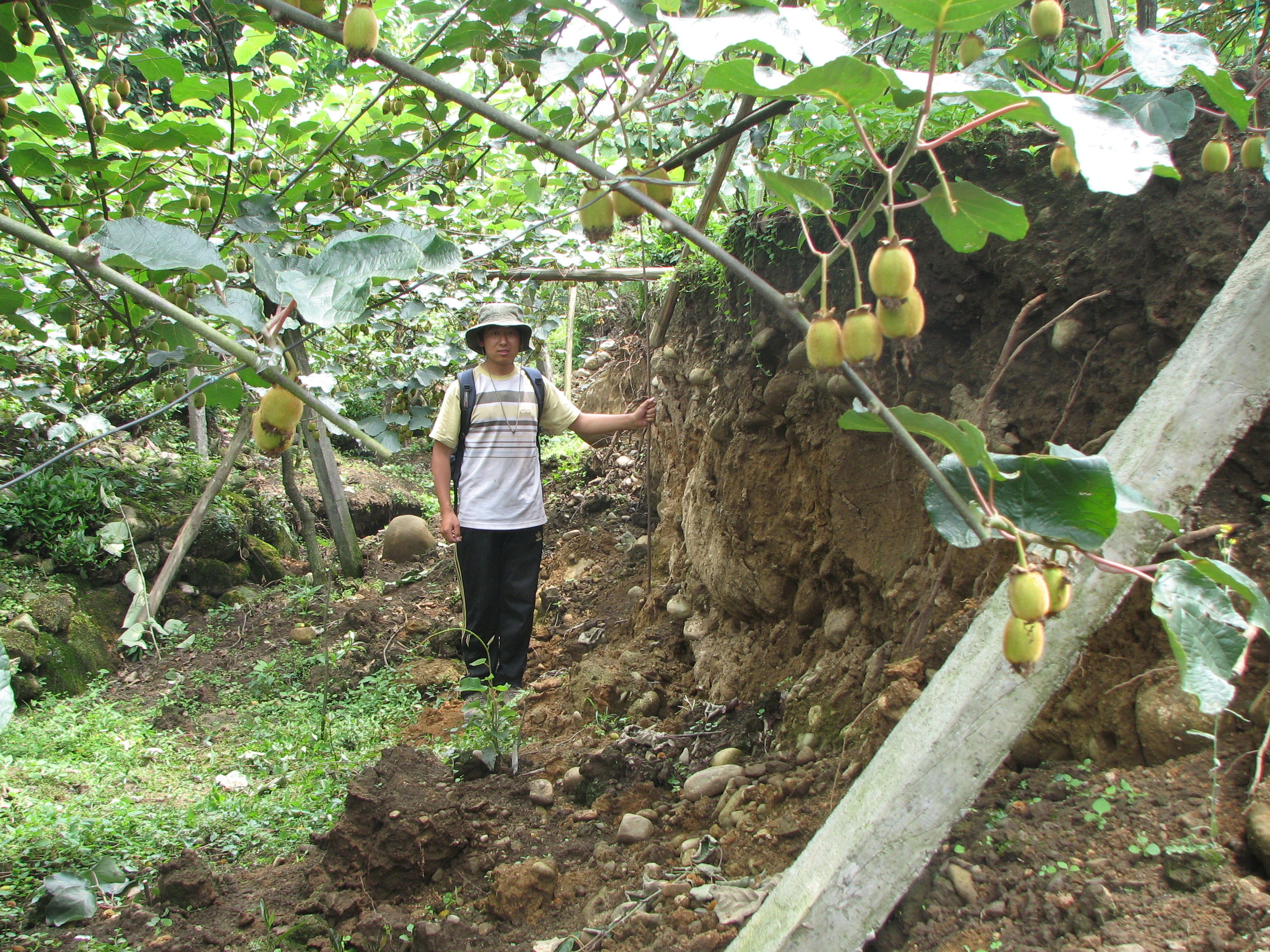
Point 184
The rupture cut through a kiwi plantation. The fault scarp is nearly vertical to slightly overhanging, with southeast side-up vertical separation. Looking northeast. Photo taken by J. Liu-Zeng, on June 13, 2008.
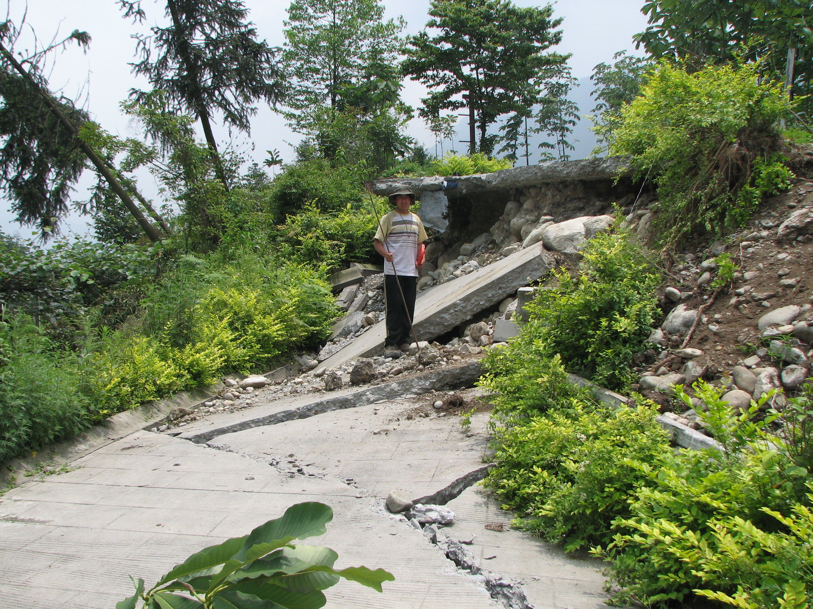
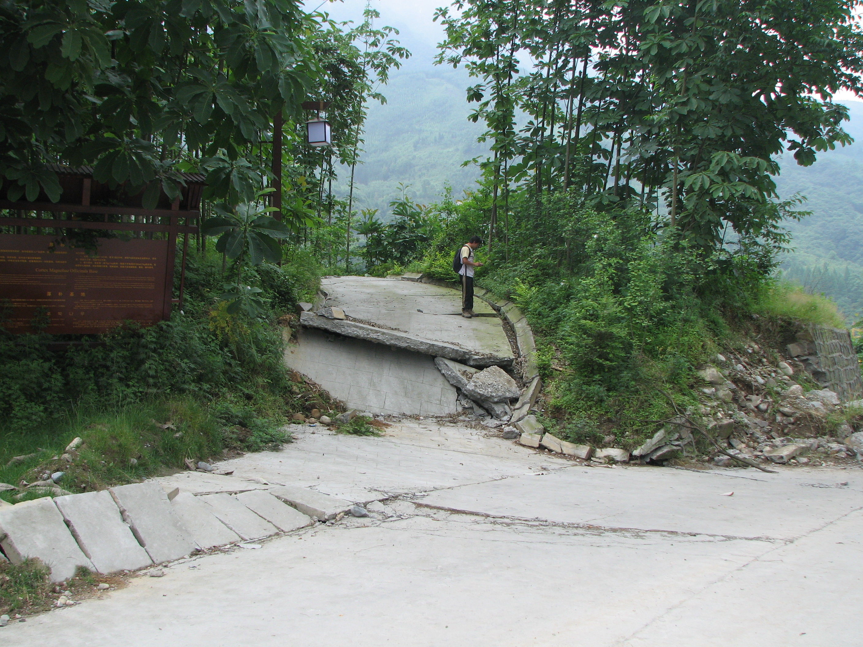
Point 182
A concrete paved trail built through kiwi plantation was offset, with southeast side-up uplifting. Trees and wooden lantern post in the fault zone tilted toward the north. Right at the position of the fault, the road curves to go upslope onto a NE-trending elongated hill. Looking northeast. Photo taken by J. Liu-Zeng, on June 13, 2008.
Point 190
A concrete paved road, which slopes down to the northwest, was offset, southeast side-up. The stacking of concrete slabs suggests compression and shortening. Looking east. Photo taken by J. Liu-Zeng, on June 13, 2008.
Looking southwest from Point 981
The rupture cut sharply through the T1/T2 terrace riser, trees along the fault being tilted. Southeast side-up scarp formed in the previously flat T1 terrace. Looking southwest. Photo taken by J. Liu-Zeng, on September 29, 2008.
The northern strand near the Gaoyuan village
Northeast of point 271, on the northern fault strand
Northwest-facing back-thrust (southeast side-up) cut through the bouldery active Baisha river channel. It occurred to the northwest of, and on the hanging wall of the main southeast-facing thrust. Looking northeast. Photo taken by L. Wen, on June 17, 2008.
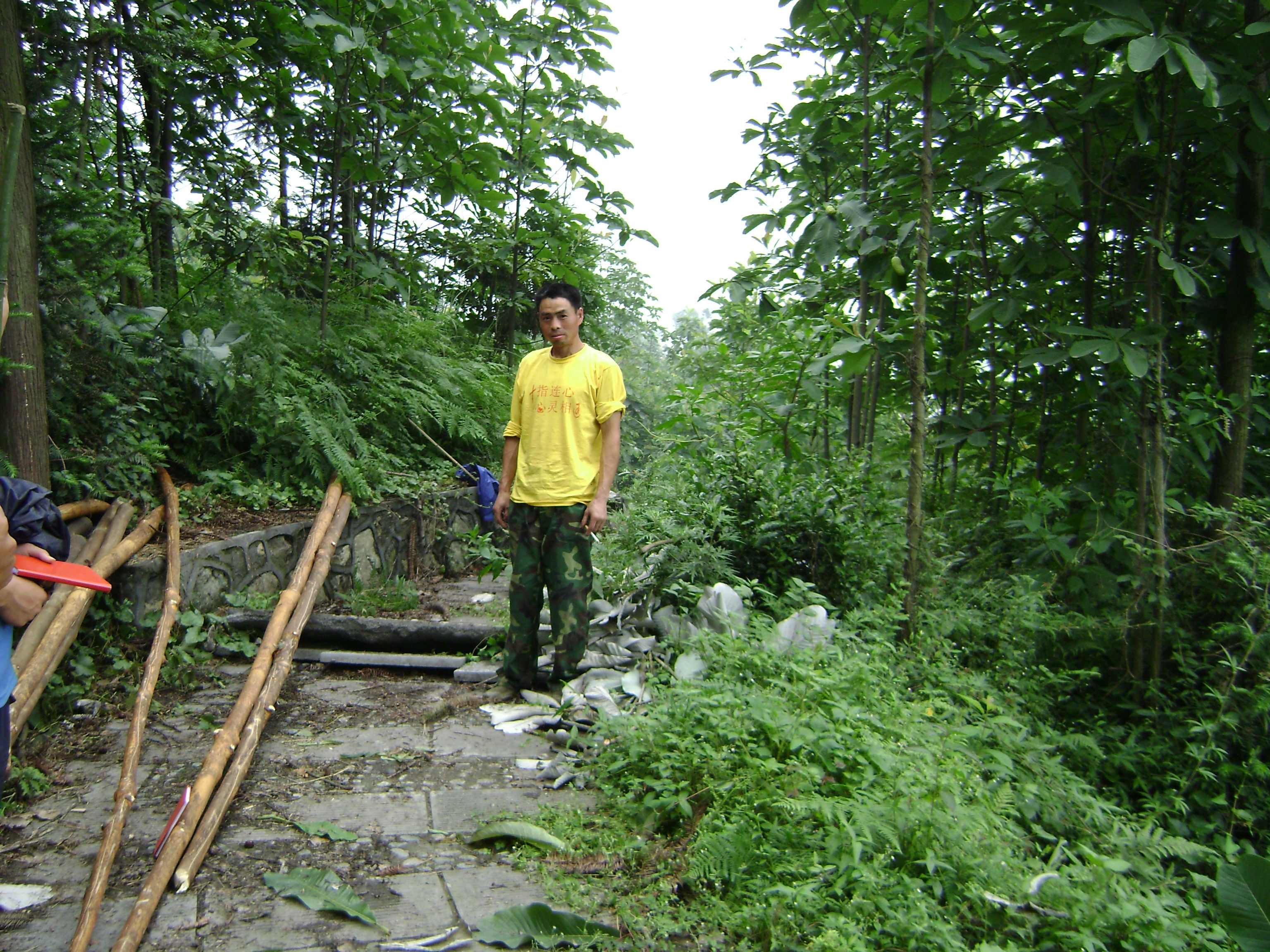
Point 617006
The N55E-striking fault cut through a trail. The concrete blocks stacked, indicating horizontal shortening. Dejiu Liu, a local resident described that the land on the northeast side of the fault zone rose in front of his eyes at the moment of rupturing. Looking southeast. Photo taken by L. Wen, on June 17, 2008.
Point 617001
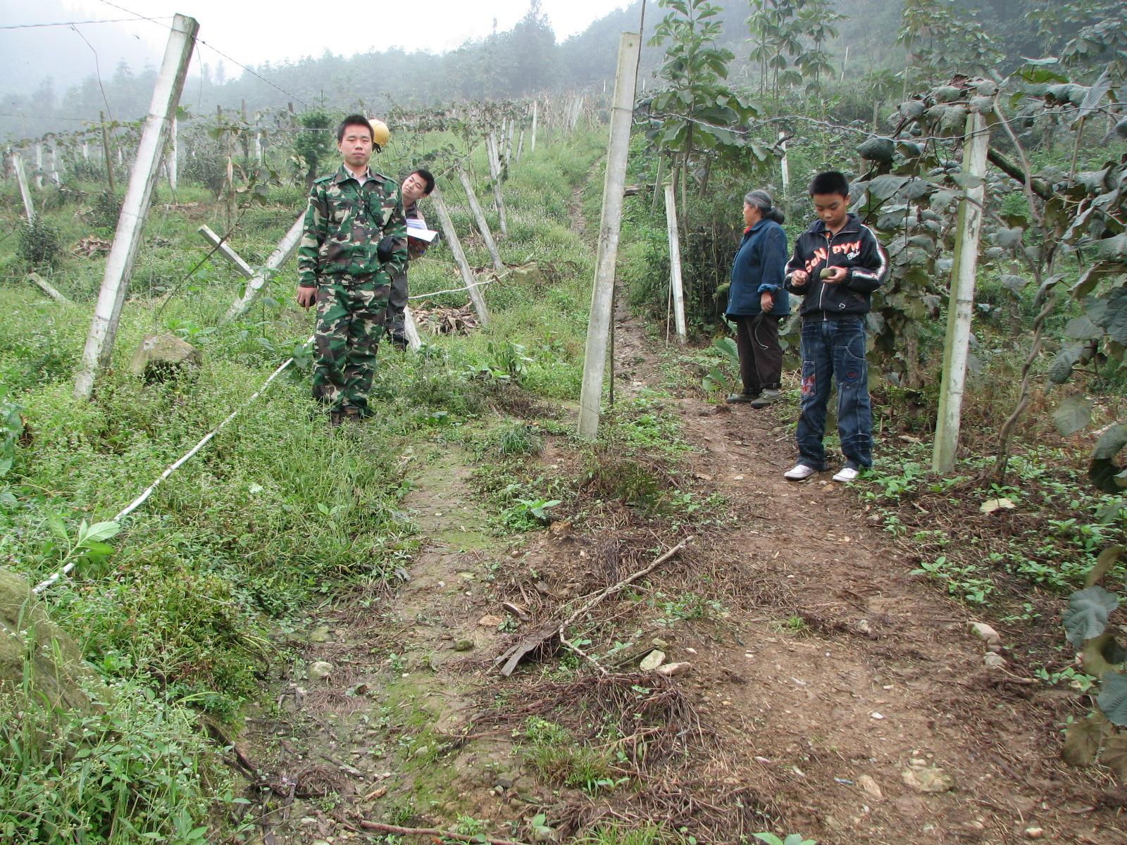
North of the Gaoyuan village, a N45W-trending footpath trail in the kiwi plantation was offset 2.1 m right-laterally, with southeast side-up vertical separation. Fault locally strikes N60E. The picture was taken four months after the earthquake. The offset trail was abandoned, and a new trail which lines up straight from that northwest of the fault, was established. Looking north. Photo taken by J. Liu-Zeng, on September 29, 2008.
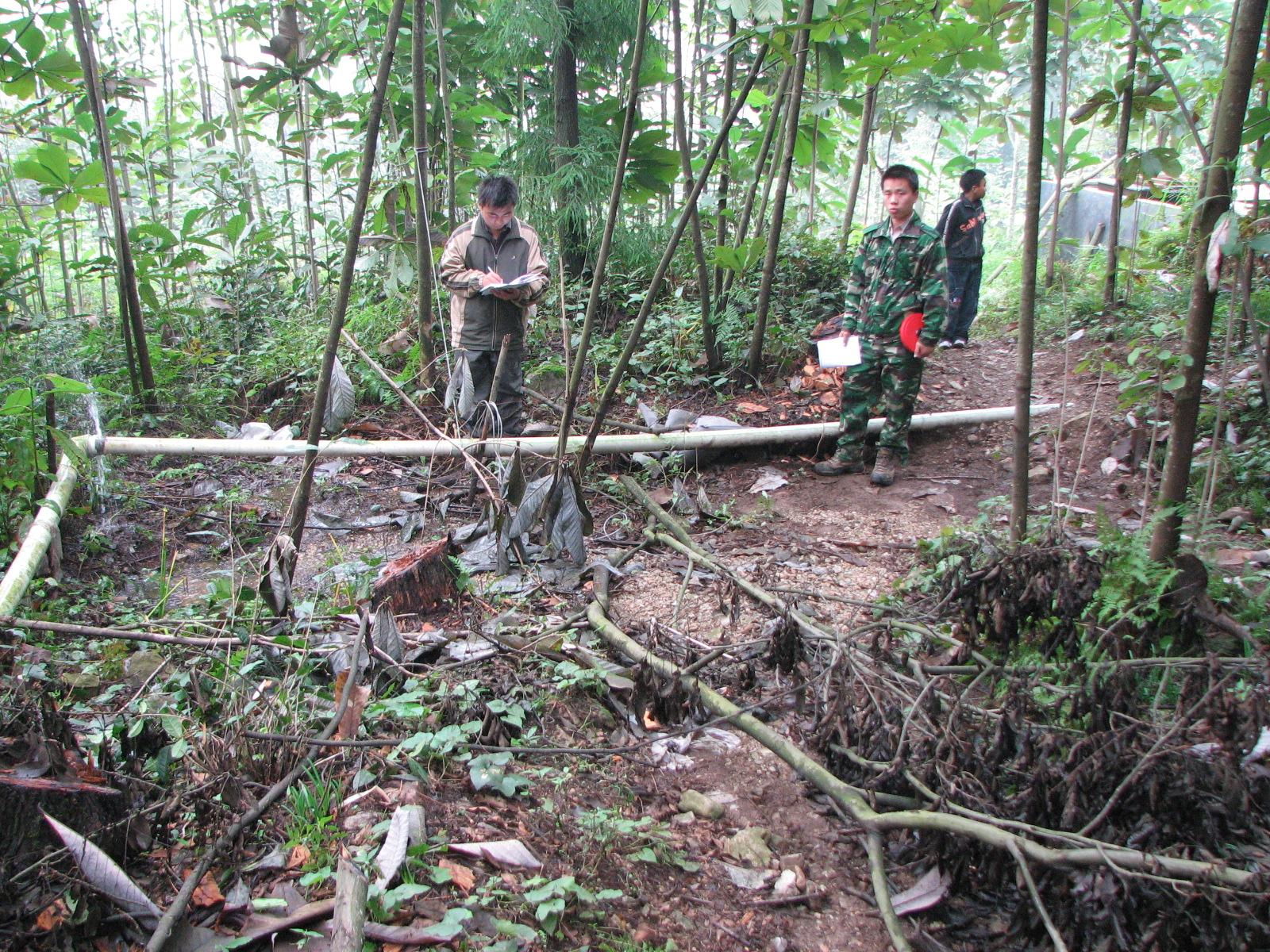
Point 617015
Near a water tank behind the Zhong Ping village. A footpath trail was dextrally offset, with southeast side up vertical separation. The aligned small trees that define the northern edge of the trail provide excellent piercing line for horizontal offset measurement of ~2.3 m. Looking south. Photo taken by J. Liu-Zeng, on September 29, 2008.
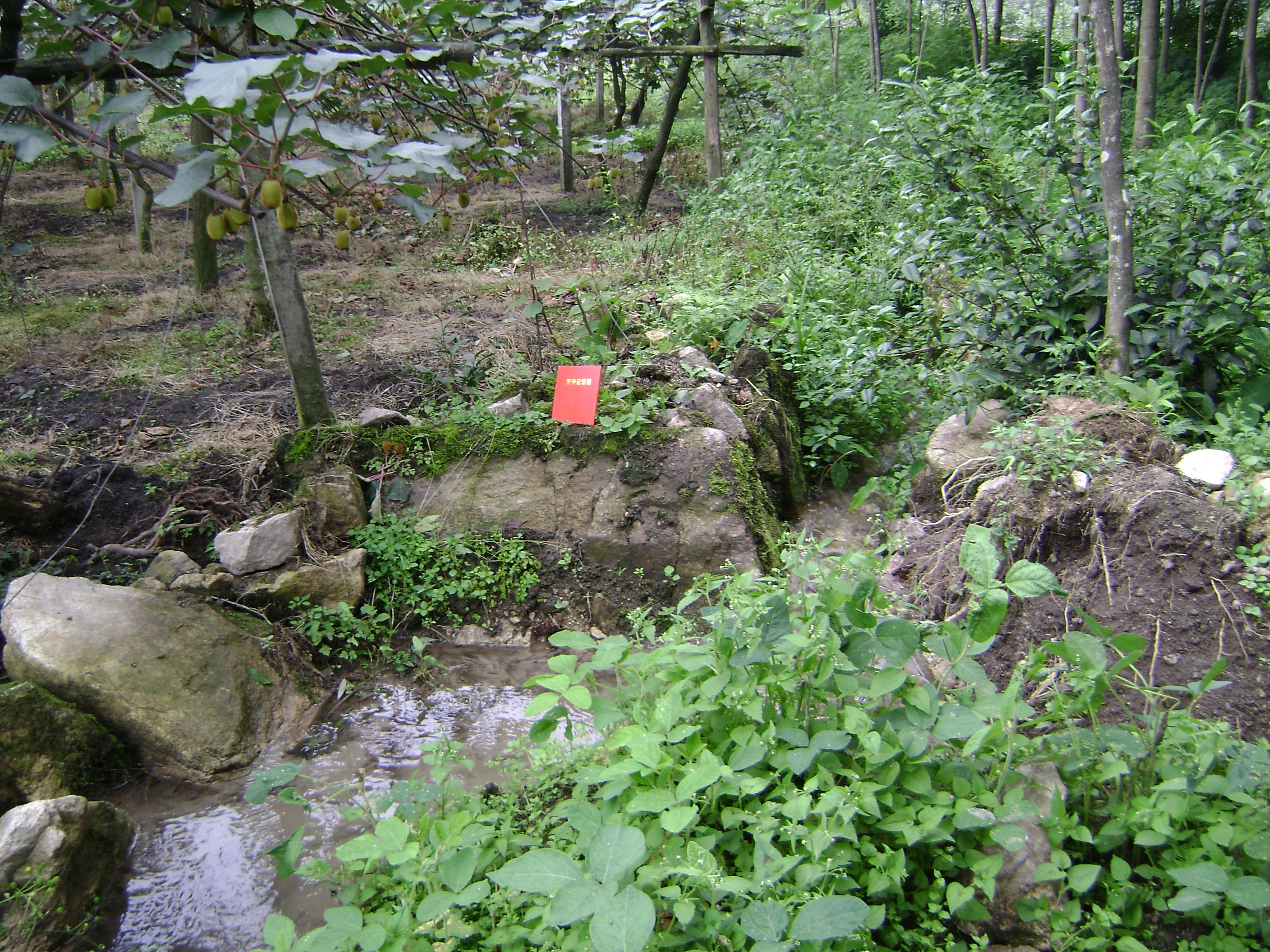
Point 617020
An irrigation aqueduct indicates dextral offset of 1.7m. Looking south. Photo taken by L. Wen on June 17, 2008.
Point 970
Looking southwestward from point 970, the rupture cut through terrace riser, indicated by tilted trees. At the base of the riser, the fault cut and damaged a manmade fishery wall. Looking southwest. Photo taken by J. Liu-Zeng, on September 29, 2008.