Viersen fault.
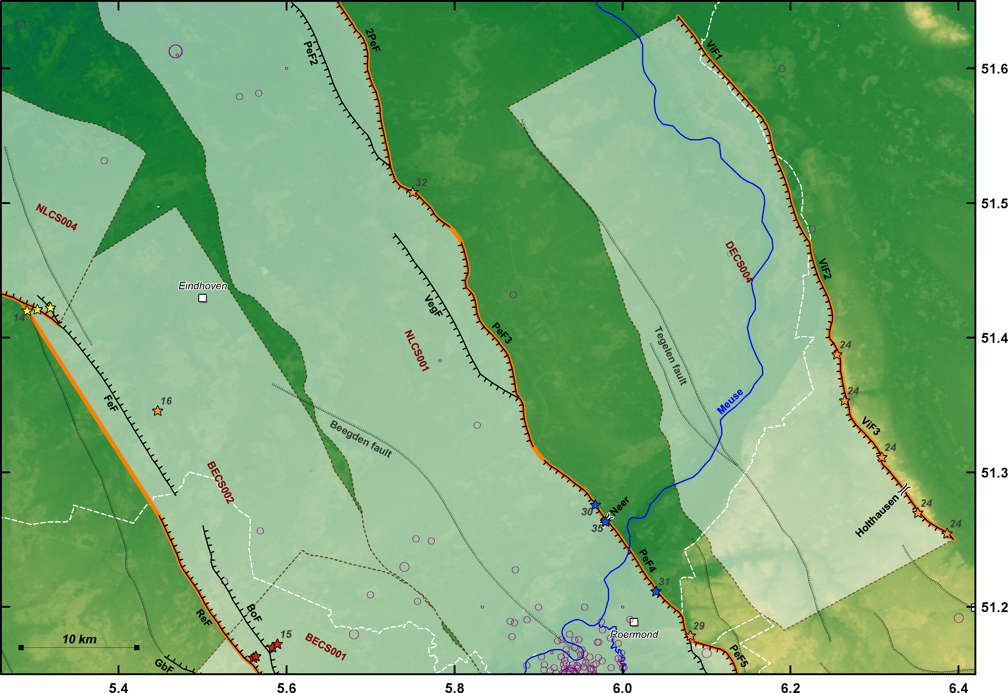
Composite source DECS004 corresponds to the Viersen fault (Figure S2). This fault is situated east of the RVG, and is largely parallel to and has the same sense of dip as the Peelrand fault (NLCS001). The Viersen fault has been mapped by Ahorner (1962) from the German/Dutch border in the NW to the eastern limit of the Quaternary river terraces of the Lower Rhine Embayment near the city of Mönchengladbach. According to some other maps (e.g., Hiss et al., 2006), it can be traced more than 65 km further southeast through the Paleozoic bedrock of the Rhenish Shield, east of the cities Cologne and Bonn. However, cross sections based on boreholes on the hydrogeological map (Breddin, 1963) show that the southern extension of the Viersen fault is buried below Quaternary Rhine River deposits, which do not show any evidence of vertical displacement. Therefore, we do not include this part of the Viersen fault in source DECS004. The SE termination of the Viersen fault thus coincides with the termination of a horst structure east of the fault, due to the junction with an antithetic fault. The hydrogeological map also indicates that the Viersen fault dies out to the north ~7.5 km southwest of the village of Goch (DE). Source DECS004 is thus ~51 km long. Based on changes in strike, we can discern three different sections, from north to south: Goch section (NW-SE), Straelen section (NNW-SSE), and Viersen section (NW-SE). The Straelen and Viersen sections correspond to the part mapped by Ahorner (1962).
| Fault section | Trench site | Year | Institute | Reference |
|---|---|---|---|---|
| Viersen section | Holthausen | 2001 | GDNRW | Skupin et al. (2008) |
Based on the map of Ahorner (1962), the long-term vertical displacement rate of DECS004 is 0.027 – 0.040 mm/yr.
| ID | Type of evidence | Offset (m) | Time period | Deformation rate (mm/yr) | Reference |
|---|---|---|---|---|---|
| 24 | Displacement of base of “Ältere Hauptterrasse” of the Rhine R. |
Mean: 69.0 (n=5) Max: 80 |
Since 2.0 – 2.58 Ma | 0.027 – 0.040 | Based on data from Ahorner (1962) |
[ Back ]