30 September 2022–“Geodesy is quite an old research field that started pretty much when humans wanted to measure the Earth, but it is also very new, especially since the rise of space-borne radar techniques,” said Xiaohua (Eric) Xu. “Space geodesy has helped scientists to measure not just the shape, but the change of the Earth’s surface related to earthquakes, volcanoes, glaciers and oceans.”
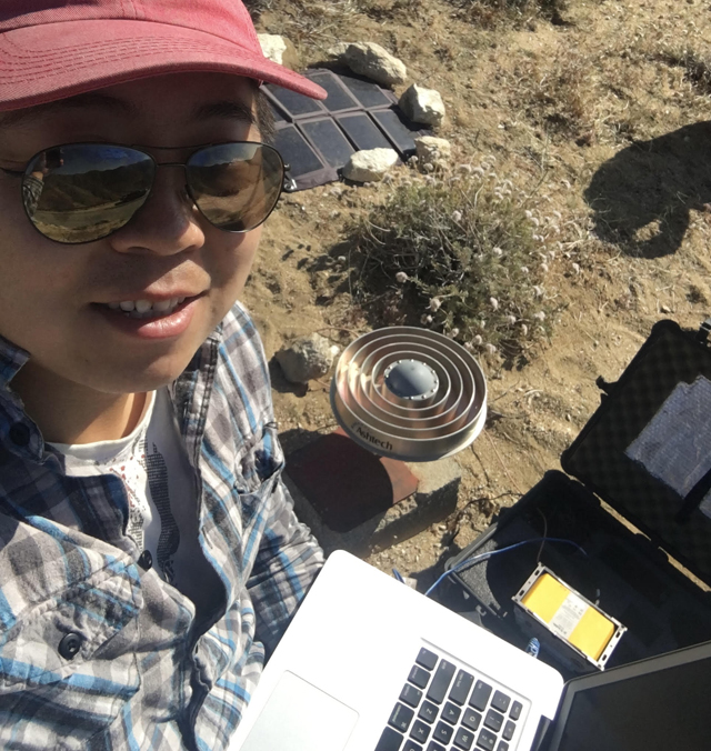
Xu, a research associate at the University of Texas Institute for Geophysics, is an expert in using satellite data to study earthquakes and faulting, plate tectonics, and strain accumulation over fault systems. “In these areas geodesy helps measure the millimeter-level crustal deformation from these processes, thus giving us a chance to understand the physics behind the Earth’s changing surface,” he explained.
Xu has applied geodetic techniques to study earthquakes and tsunamis across the globe, including China, Indonesia, Mexico, Nepal and throughout California. “Seismology and geodesy are like brothers that work well together,” he noted.
“They compensate each other in many aspects. For example, to understand earthquake rupture, geodesy helps provide constraints over shallower depth, while seismology gives better images of the lower crust,” he said. “Seismometers are sensitive to the change of structure in terms of seismic velocities. Geodesy, on the other hand, provides sharp constraints on the boundaries of these structures.”
Xu’s work on the 2019 Ridgecrest, California earthquake sequence demonstrates how geodesy can reveal distinct features from an earthquake that are rarely seen in ground surveys but could shed light on strain distribution in the crust and how earthquake hazard models might incorporate this information. In the case of Ridgecrest, for example, Xu and his colleagues used observations from the Sentinel-1 radar satellites to identify hundreds of small crustal fractures, finding that some deformation during the earthquakes moved “backward,” in the opposite direction from the fault rupture. This phenomenon may help accommodate strain of the “forward” fault rupture and indicated that the release of shallow strain was being distributed and inelastic over shear zones, the researchers concluded.
Not content to look at just earthquakes, Xu and his colleagues have used satellite geodesy to monitor the 2020 Kīlauea volcanic eruption in Hawaii, the retreat of Totten Glacier in East Antarctica and ground subsidence at Mexico’s Cerro Prieto geothermal field.
Xu grew up in China, and the devastating 2008 Wenchuan earthquake helped him choose between majoring in computer science or earth science as he entered college. Later as an exchange student at the University of California, Los Angeles, he worked with geophysicist David Jackson, who brought him to a Southern California Earthquake Center (SCEC) meeting. “That’s when I met lots of brilliant earth scientists and really decided, ‘Wow, these folks are cool, and I wanna be one of them!’” he said.
“This is also the reason I’ve always believed that the SSA Travel Grant for students to go to the annual meeting is critical, and beneficial for the whole earth science community,” he added.
He hasn’t left computer science behind completely. One of Xu’s ongoing contributions to the field is his work as a developer of GMTSAR, an open-source software that translates satellite radar images into deformation maps of the Earth’s surface. He began working on GMTSAR during his Ph.D. at the University of California, San Diego with David Sandwell.
Geodetic research is part engineering, part science, he says “While my research focus is on the science part, writing software helps me keep track of the other half.”
At the beginning Xu was concerned about how much time he spent on GMTSAR, “but it benefited me back with more robust software and external collaborations,” he said. “Now I take it more as a commitment to the user community. The development of such open-source software is critical for the advancement of earth science, in the sense that researchers around the world can get the tools they need at their will.”
SSA At Work is a monthly column that follows the careers of SSA members. For the full list of issues, head to our At Work page.