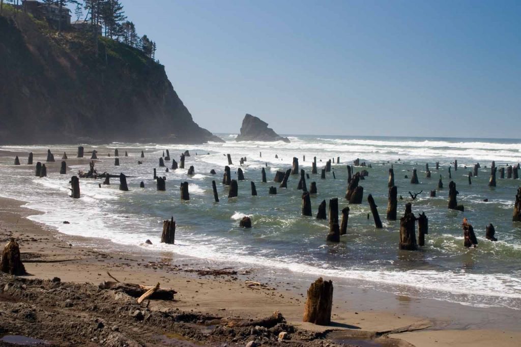
29 October 2019–By combining models of magnitude 9 to 9.2 earthquakes on the Cascadia Subduction Zone with geological evidence of past coastal changes, researchers have a better idea of what kind of megathrust seismic activity was behind the 1700 Cascadia earthquake.
The analysis by Erin Wirth and Arthur Frankel of the U.S. Geological Survey indicates that a rupture extending to just offshore along most of the Pacific Northwest could cause the pattern of coastal subsidence seen in geologic evidence from the 1700 earthquake, which had an estimated magnitude between 8.7 and 9.2.
An earthquake rupture that also contains smaller patches of high stress drop, strong motion-generating “subevents” matches the along-fault variations in coastal subsidence seen from southern Oregon to British Columbia from the 1700 earthquake, the researchers conclude in their study published in the Bulletin of the Seismological Society of America.
The seismic hazard associated with Cascadia megathrust earthquakes depends on how far landward the rupture extends, along with differences in slip along the fault. The new study could help improve seismic hazard assessments for the region, including estimates of ground shaking intensity in Portland, Oregon, Seattle, Washington and Vancouver, British Columbia.
For instance, the 2014 National Seismic Hazard Maps assigned different “weights” to earthquake scenarios that rupture to different extents of the down-dipping plate in the region’s subduction zone, as a way to express their potential contribution to overall megathrust earthquake hazard. An earthquake where the rupture extends deep and partially inland is weighted at 30%, a shallow rupture that is entirely offshore is weighted at 20%, and a mid-depth rupture that extends approximately to the coastline is weighted at 50%.
“We looked at various magnitude 9 rupture scenarios for Cascadia, to see how the coastal land level changes under those scenarios,” said Wirth, “ and you can’t match the paleoseismic estimates for how the land level changed along the Pacific Northwest coast during the 1700 Cascadia earthquake” with rupture scenarios at the shallowest and deepest points.
“This may mean that these scenarios deserve less weight in assessing the overall seismic hazard for Cascadia,” Wirth noted.
The researchers used data from other megathrust earthquakes around the world, such as the 2010 magnitude 8.8 Maule, Chile and the 2011 magnitude 9.0 in Tohoku, Japan earthquakes to inform their models. One of the features found in these and other megathrust events around the world are distinct patches of strong motion-generating “subevents” that take place in the deeper portions of the megathrust fault.
Wirth and Frankel show that variations in coastal subsidence caused by the 1700 earthquake may be due to the locations of these subevents. But improving the accuracy of paleoseismic estimates for how the land level changed during previous Cascadia earthquakes is critical to ascertain this, said Wirth.
It’s unclear what causes these subevents, other than that these areas of the fault generate high stress that isreleased in the form of strong ground shaking. This might indicate that the subevents have a physical cause like the structure or composition of the rocks along the fault that makes them mechanically strong, or changes in friction or fluid pore pressure related to their depth.
In the Tohoku and Maule earthquakes, Wirth noted, “the frequency of ground shaking that is most damaging to buildings and infrastructure seemed to be radiated from these discrete patches on the fault.”
To improve seismic hazard assessment in Cascadia, she said, the next steps would be to understand what and where these subevents are, and whether they change over time. “If we could constrain the location of these subevents ahead of time, then you could anticipate where your strongest ground shaking might be.”
In 2002, the USGS estimated that there was a 10% to 14% chance of another magnitude 9.0 Cascadia earthquake occurring in the next 50 years.