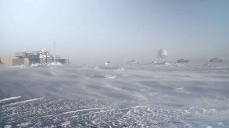
22 April 2022–Using a telecommunications fiber-optic-based sensing system, researchers were able to track the spread of sea ice in near-real-time over a 40-kilometer stretch of the Beaufort Sea north of Alaska.
The deployment demonstrates a new way to monitor ice formation in a region where ice coverage has economic, cultural and biological importance, researchers said at the Seismological Society of America’s Annual Meeting.
“At a global scale, the annual increase and decrease of fluctuations in sea ice is a good metric for determining the overall health of the Arctic,” said Michael Baker of Sandia National Laboratories.
Distributed acoustic sensing, or DAS, uses the tiny internal flaws in a long optical fiber as thousands of seismic sensors. An instrument called an interrogator at one end of the fiber sends laser pulses down the cable that are reflected off the fiber flaws and bounced back to the instrument. When the fiber is disturbed by seismic activity, researchers can examine changes in the timing of the reflected pulses to learn more about the resulting seismic waves.
In the Beaufort Sea, Baker and colleagues working on the Cyrosphere/Ocean Distributed Acoustic Sensing (CODAS) experiment are looking at how DAS technology could be used to monitor a range of Arctic seismoacoustic signals, from sea ice formation and break-up to whale songs.
The CODAS deployment uses an existing telecommunications “dark” or unused fiber, owned by the company Quintillion, that lies in the seafloor. During the deployment, Baker and colleagues used DAS signals to observe a change from an open-water to an ice-bound state, watching as a sea ice formation front propagated 20 kilometers seaward over a period of eight hours.
“With DAS, we’re able to give much more up-to-date and accurate ideas of sea ice conditions over about a 40-kilometer stretch of water,” Baker explained, “versus a few square kilometers resolution that can be accessed up to a couple of days later using satellite imagery.”
Open-water signals tend to be much noisier than ice-bound signals, Baker said. Wind can stir up open water to make lots of little waves that generate hydroacoustic noise. “When you put a layer of thick sea ice on top of that, it isolates the water column from the wind, so you don’t really generate wind waves very well.”
The ice generates “exotic floating-plate wave modes that most seismologists don’t have to deal with, but they show up really well on the DAS,” Baker added.
The propagation speed of these plate waves is heavily dependent on the thickness of the ice, he said, so with more data researchers hope they can use DAS to monitor fluctuations in sea ice thickness as well.
The timing and extent of sea ice affect seal breeding and polar bear hunting, which have cultural and commercial importance to the region’s people. The ability to quickly monitor sea ice formation is also important for commercial shipping lane operations.
Sea ice is also an important buffer against the impacts of climate change. “The longevity and thickness of the sea ice gives us an idea of how much any particular area is really going to be impacted by annual changes in the climate,” said Baker, who has a background in glacial seismology. “We’re expecting more coastal erosion, as permafrost thaws out and Arctic ocean storms increase in strength and frequency.”
Following four more DAS deployments this year, Baker said he and his colleagues would like to follow up with a distributed temperature sensing project to look more closely at the submarine permafrost layer. “We want to see if we can assess the stability of that permafrost and how much if any outgassing of methane is happening, as the permafrost is thawing.”