22 April 2022–Sediment cores drawn from the Salmon River Estuary in Oregon suggest that at least 15 meters of megathrust slip happened offshore during the massive 1700 Cascadia earthquake, leading to a meter or more of coastal subsidence, researchers said at the Seismological Society of America’s Annual Meeting.
The findings reported by SeanPaul La Selle of the U.S. Geological Survey and colleagues will help seismologists refine their understanding of this last great earthquake on the active subduction zone, La Selle said, and place constraints on how the coastline could be impacted during the next megathrust event.
The cores analyzed by La Selle and his team contain sand that was deposited by the high tsunami that accompanied the 1700 earthquake, thought to be between magnitude 8.7 and 9.2. The tsunami swept sand into coastal estuaries from Vancouver to northern California.
“Following modern tsunami events, scientists often record ‘perishable’ evidence of tsunami inundation and flow such as high-water marks on buildings, or wrack lines of lightweight organic debris and trash,” La Selle explained. “For the 1700 and older events in Cascadia, we of course do not have access to these types of indicators. They simply aren’t preserved and there are no detailed written accounts. We therefore rely on preserved tsunami sediment deposits to identify whether an area may have been inundated by tsunamis.”
The researchers use the minimum extent of inundation to evaluate different earthquake rupture models, a technique that they have tested with modern examples such as the 2009 American Samoa tsunami and the 2011 Tohoku-Oki tsunami in Japan.
In general, rupture models that produce the same inundation pattern as the sediment core data are more likely to accurately represent the rupture event. In this case, earthquake ruptures that result in less than a meter of coastal subsidence would be ruled out in the case of the 1700 earthquake.
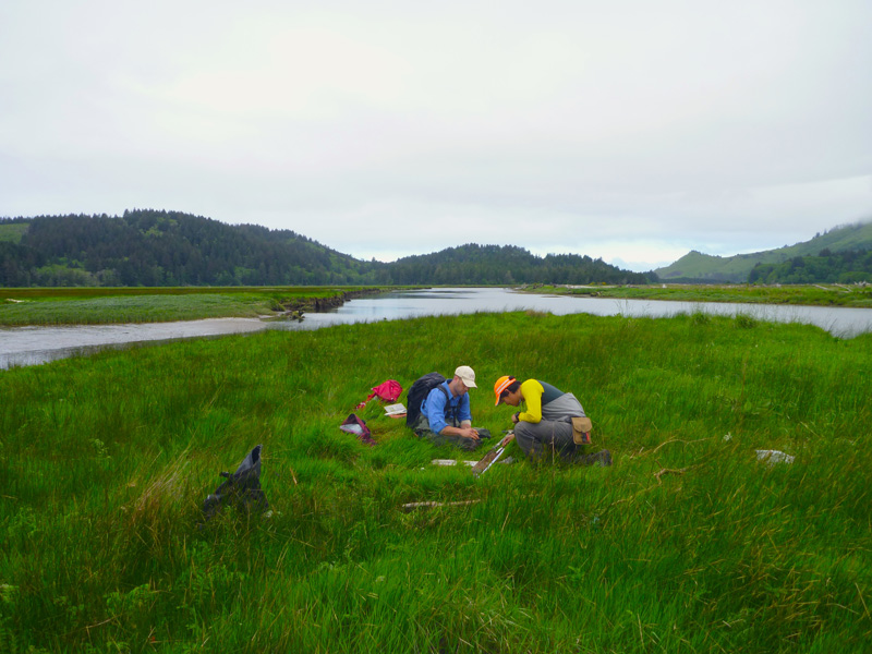
The Salmon River Estuary is relatively undisturbed compared to other estuaries in the Cascadia region, La Selle said, preserving deposits from the 1700 tsunami up to 3.4 kilometers inland. Researchers looking for evidence of other earthquakes and tsunamis at the site had cored the area in the late 1980s and 1990s. Although most of the estuary only records the 1700 tsunami, scientists have found evidence for four more earthquakes before 1700, going back to about 2200 years ago.
For their study, La Selle and colleagues collected 105 new cores and reanalyzed 114 core logs from a previous study. The layers of tsunami sand contained in the cores range in thickness from 0.1 to 19.5 centimeters.
A recent Salmon River Estuary study of assemblages of microfossils such as foraminifera, which can be used to trace changes in sea level that are a result of coastal subsidence, largely agrees with the level of subsidence suggested by the sediment data, La Selle noted.
The research team plans to do similar coring and modeling at the Nestucca and Nehalem River mouth sites north of the Salmon River, where the microfossil data has also been used to make new subsidence estimates. “The Salmon River Estuary is one of just a handful of sites where the 1700 deposit is extremely well preserved, so we don’t expect to map tsunami deposits quite as extensively at other sites,” La Selle explained. “However, any deposit from the 1700 event can be used as a minimum inundation marker and is useful for validating the tsunami modeling.”